Sagres
|
lat: 37° 0'5.83"N long: 8°56'51.33"O |
|
|
| Part of west coat day trip: Carvoeiro >Aljezur > Arrifana > Natural Park > Sagres > Cape St. Vincent > "Safari" restaurant > Carvoeiro (a total of 200 km / minimum 6.5 hours). |
|
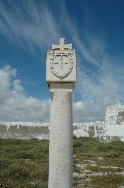
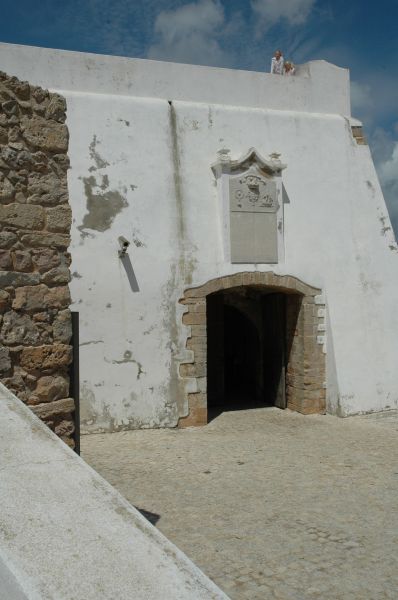
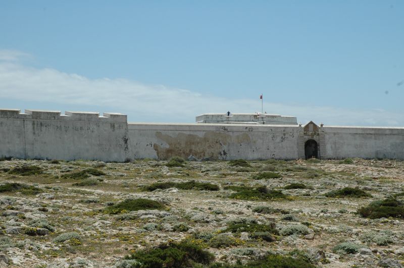
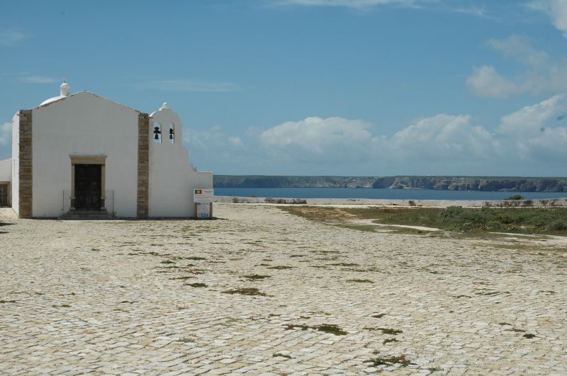
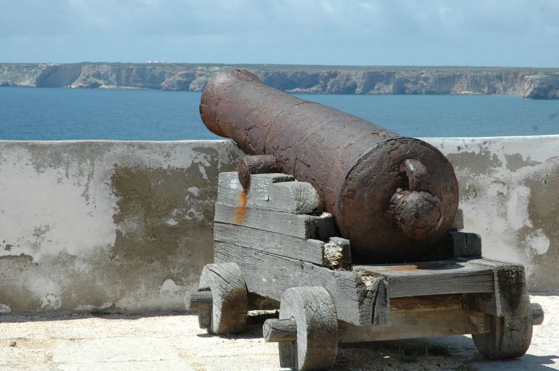
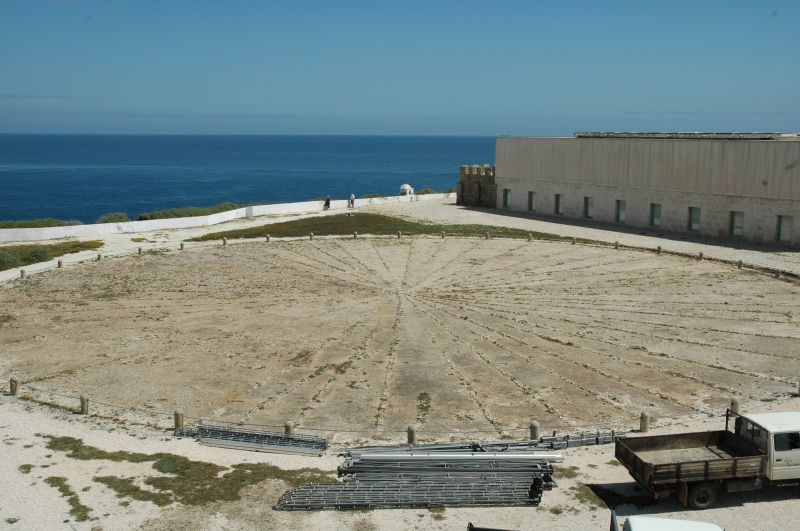
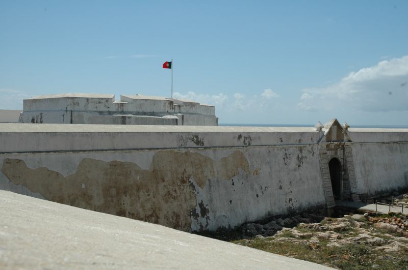
Sagres is where Prince Henry the Navigator built a new, fortified town and a semimonastic school of navigation that specialised in cartography, astronomy and ship design, steering Portugal on towards the Age of Discoveries. |
| Find many more photos here: https://www.gallery.carvoeiro.com/ |
 |
 |
 |
 |
|
|
|